Tag Archives: Niles Pond

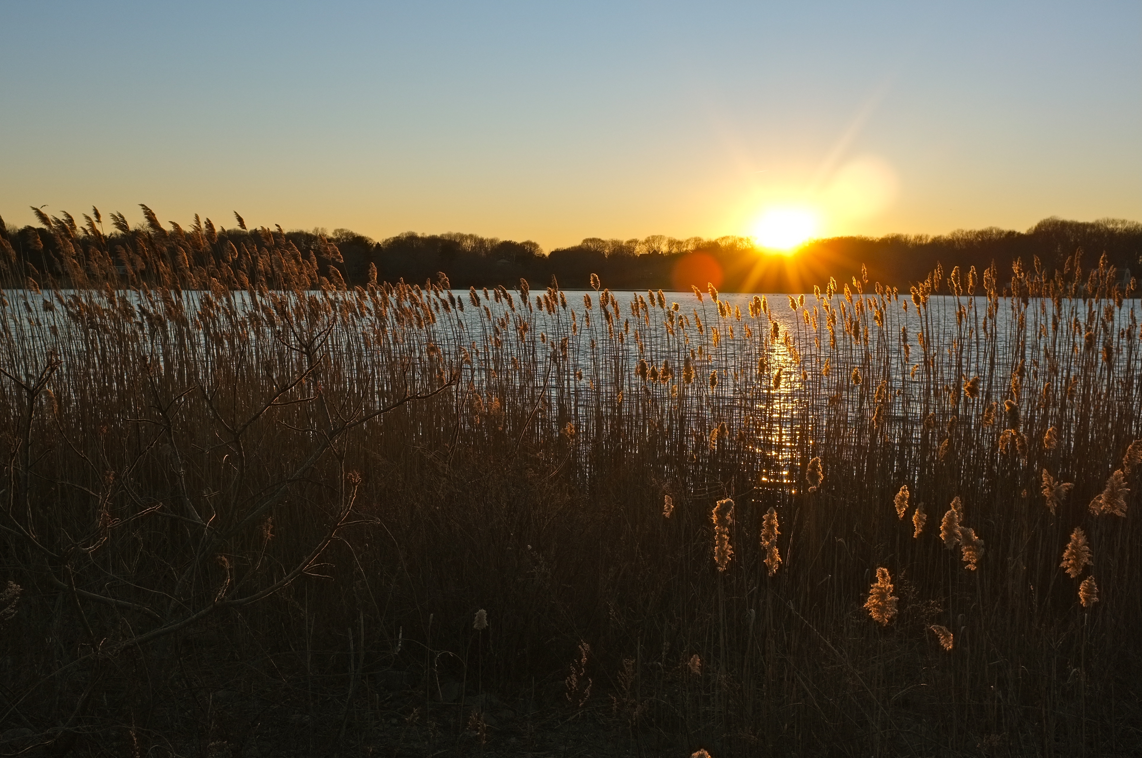
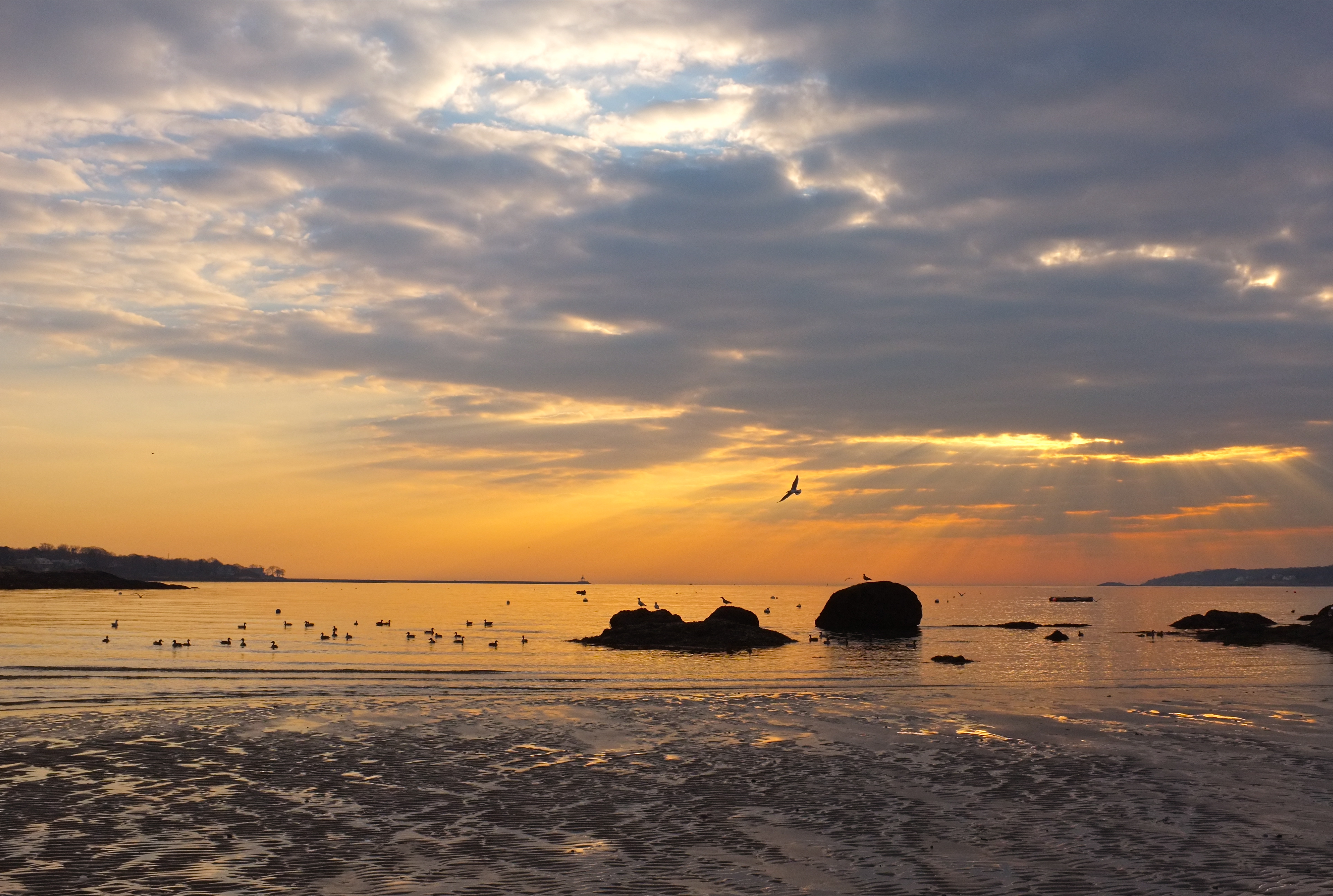
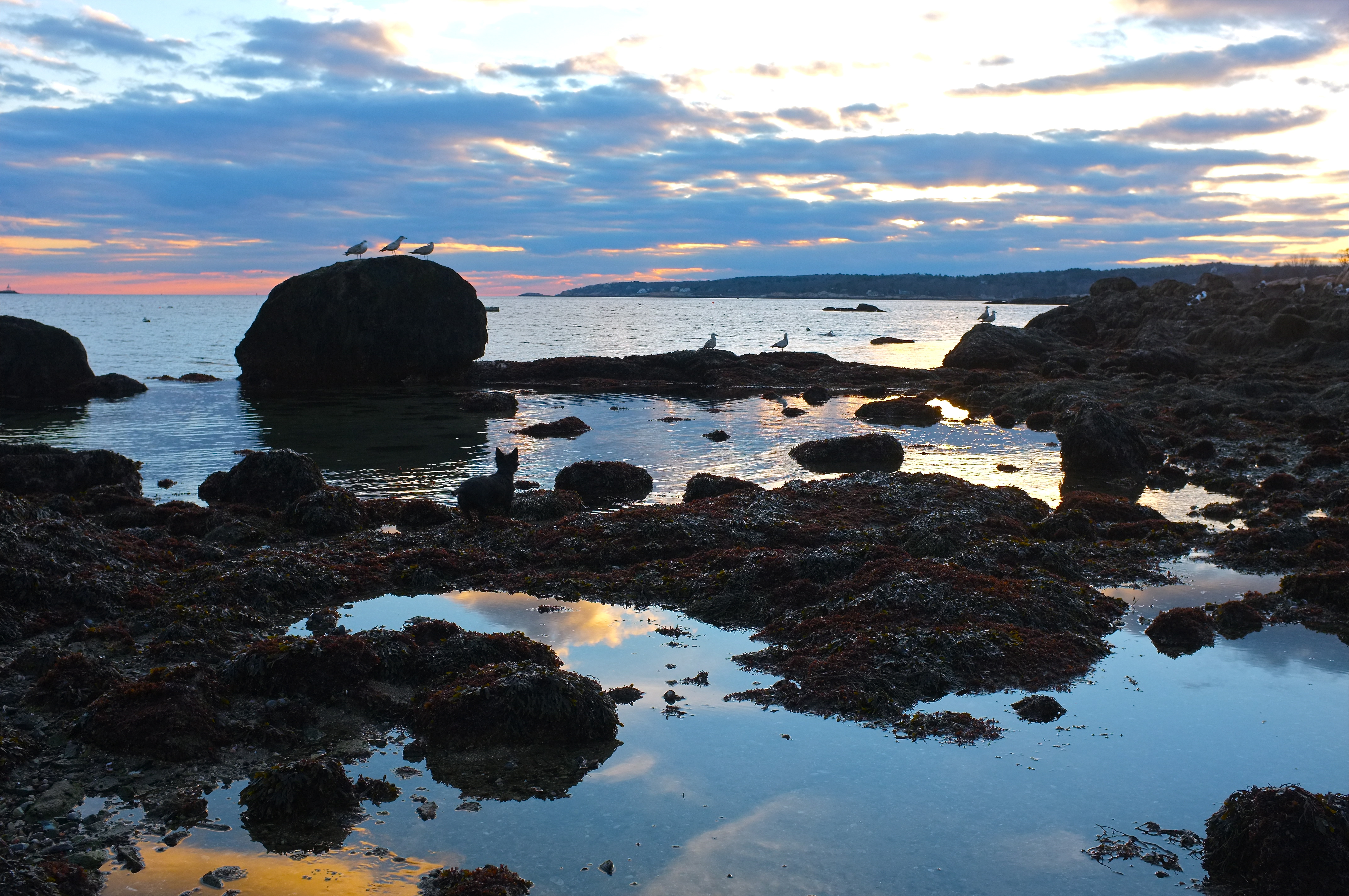
Niles Pond or Brace Cove

Niles Pond Brace Cove ©Kim Smith 2013

An embarrassment of riches ~ Whether dawn or dusk, when standing on the footpath between Niles Pond and Brace Cove, sometimes I can’t decide which direction to point my camera. When that happens I focus the video camera in one direction and turn and face the opposite direction with the still camera.

Niles Pond Brace Cove -2 ©Kim Smith 2013

This batch of photos was taken on a chilly afternoon in early January, looking first toward the pond, and then heading down to the beach at Brace Cove after a wedge of eight Mute Swans flew overhead and landed in the cove.

Niles Pond swans ©Kim Smith 2013

The bevy was comprised of six cygnets and parents. The bill of the adult Mute Swan is vivid red-orange whereas the cygnet’s  bill ranges in shades from dark gray through muted browns. A black knob at the base of the cob’s (male) bill bulges prominently during mating season; the rest of the year it is often difficult to distinguish pen from cob. Anyone who has ever encountered a hissing, snarling, gnarling, and whistling Mute Swan wonders why they are called mute. Mute Swans lack the vocal trumpeting when compared to other members of the genus. The most beautiful sound the Mute Swan makes is the vibrant throbbing of their wingbeats in flight. I believe this sound is unique to Mute Swans. Click photos to view larger.

Niles Pond Brace Cove Swans -4  ©Kim Smith 2013

Niles Pond Brace Cove swans -5 ©Kim Smith 2013

Eight Mute Swans (Cygnus olor) at Brace Cove, Gloucester

Niles Pond at Risk

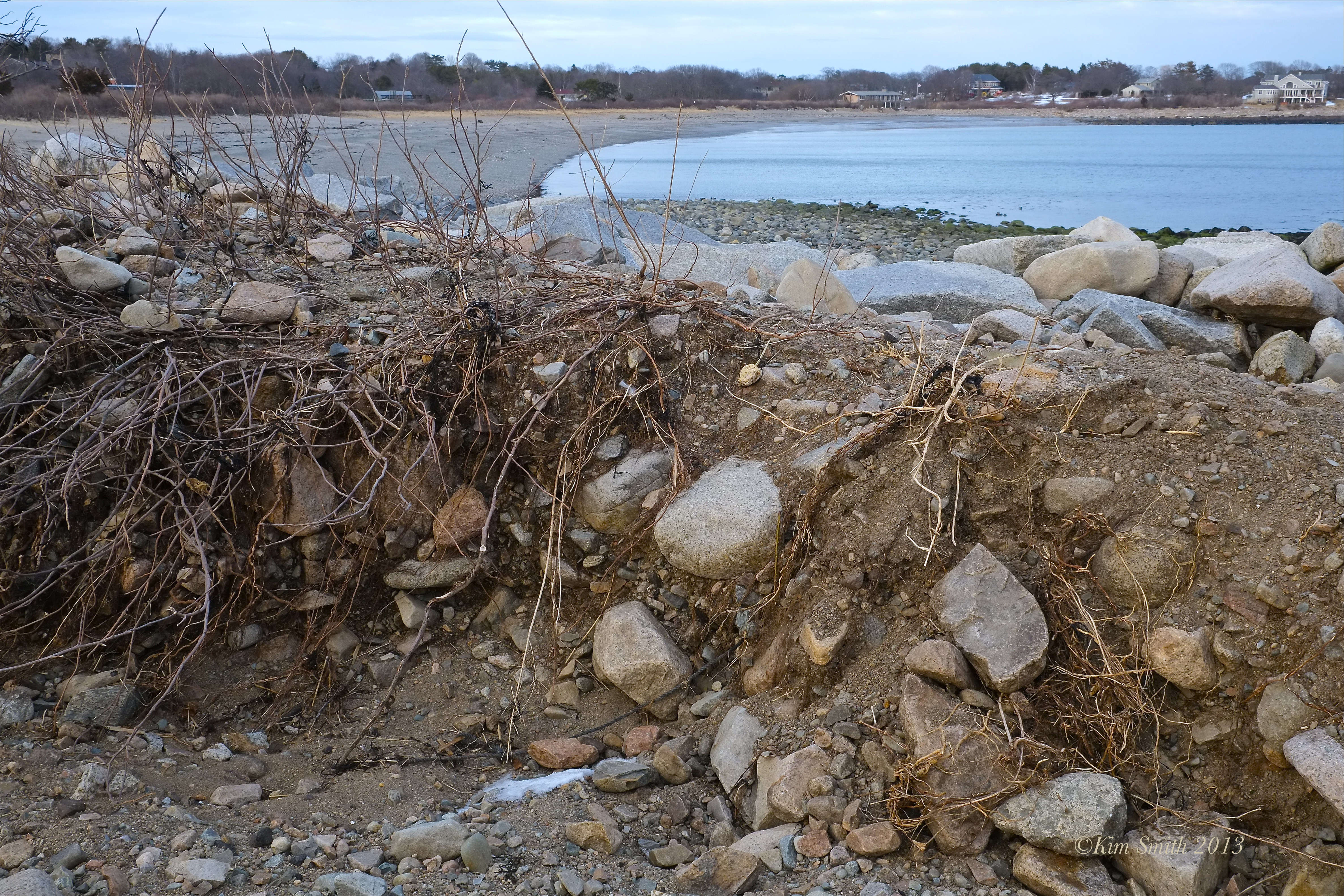
Niles Pond Brace Cove Storm Damage ©Kim Smith 2013
The narrow strip of land that separates freshwater Niles Pond from the Atlantic Ocean was severely damaged during Blizzicane Nemo.

Niles Pond Brace Cove Storm Damage -1 ©Kim Smith 2013 copy

Niles Pond Brace Cove Storm Damage 3 ©Kim Smith 2013

In several places along the footpath, there are cuts clear through the granite dune and a sandy beach is forming on the Niles Pond side. Shrubs, wildflowers, and ground covers that help retain the sides of the causeway have been uprooted and washed away.

Niles Pond Brace Cove Storm Damage -4 ©Kim Smith 2013.

To read more about what makes this narrowest strip of land dividing Niles Pond and Brace Cove so unique, see JoeAnn Hart’s beautiful story about Niles Pond.

Niles Pond Brace Cove Storm Damage -5 ©Kim Smith 2013

Niles Pond and Brace Cove Footpath Storm Damage

More Snowy Day Photos

Winter Garden©Kim Smith 2013

The morning after the beautiful snowfall (I hope it isn’t the only real snow of the season!), I took several snapshots of our garden before heading over to the Harbor Walk, then ended by photographing at Niles Pond. The Harbor Walk photos are posted here, and I am just getting to the rest of the images.

Winter Garden

The waves that can be seen crashing in the distance beyond the narrow strip of land are at Brace Cove. Click photos to view larger.

Niles Pond

Niles Pond after new fallen snow

Local Author JoeAnn Hart Shares Her Beautiful Story About Niles Pond

JoeAnn Hart is the author of the novels Addled and the forthcoming Float (Ashland Creek Press, February 2013). Float, set in coastal New England, involves the fishing industry, conceptual art, jellyfish, marital woes, and plastics in the ocean.

Ocean Path at Niles Pond

Niles Pond and the Narrow Path

Folklore has it that Niles Pond was once in the Guinness Book of World Records for being the closest body of fresh water to the ocean, but I can’t verify it. No matter. Not only does it seem true, but as with other Guinness records, such as the heaviest weight lifted by tongue (27.5 lbs.), it also seems impossible. Yet there it is. This 38 acre pond is separated from the salty Atlantic by a causeway just wide enough for a footpath. There is Niles on one side, neatly defined and calm, and on the other, the pounding surf of Brace Cove. To stand between the two is to feel washed in conflicting emotions. I walk this route with Daisy, my fuzzy mutt who believes herself to be a famed hunter of ducks and likes to splash into the dark pond up to her sternum to stir them up.

Niles is named after the farmer who once owned Eastern Point, the small spit of Gloucester land where I live. Of the many unique features of the intertwined land and waterscapes here, Niles is nature’s odd duck. It is a Massachusetts Great Pond, meaning that it is like a Common, where citizens have the right to graze their sheep, except this Common is made of water. Instead of grazing, it is reserved for hunting, fishing, ice-making, and recreation. Duck hunting is no longer feasible because of all the homes built up along the shore, and fishing is also a moot point because the perch have been eaten by the snapping turtles. As for ice, Cape Pond Ice (“the coolest guys in town”) churns it out for the fishing boats these days. That leaves recreation. I’ve never seen anyone but Daisy swim in the pond, what with those snappers, but there are skaters when there is ice. There was no ice last winter, speaking of breaking records, but that is a topic for another time. The point is, Niles is left mostly in the hands of wildlife, as nature intended.

Phragmites at Niles

But what does nature intend? Does it intend for the pond to be choked by phragmites, the feathery reed that is prowling along the perimeter? In geologic time, Niles was once part of the ocean, an extension of Brace Cove. Over the years, rocks rolled to shore, sand accumulated, and the dune got higher until one day it was shut off from the sea. A natural spring bubbled up and slowly replaced the salt water with fresh. In the 1830’s, sensing that the ocean might want to stake a claim again, Farmer Niles reinforced the 400-foot dune with granite to preserve the pond for ice-cutting and “ornament.” It remains a prime resting place for migratory seabirds, and a source of fresh water for the stealthy mammals of the land, including fisher cats and raccoons. At any given time, grebes, cormorants, and ducks float on the surface, while herons and egrets stand around on one leg pretending to be reeds. The mute swans are probably a human introduction, but they are hardly mute. They hiss and snort and otherwise act aggressively because people feed them, which confuses wild animals and makes them testy. That, and the fact that the turtles pull their cygnets from below and eat them. But the phragmites are more aggressive than either swan or snapper.

Migrants

According to Fish and Wildlife, non-native phragmites appeared in
coastal ports in the eastern
 United States in the 19th century, probably as seeds clinging to the hulls of ships. Maybe humankind’s natural purpose on earth is to help immobile species move around the globe. It is hard to figure out where we fit in, but in this aspect, we’ve succeeded. The rapid spread of phragmites in the 20thcentury is attributed to habitat disturbance and eutrophication. Raise your hand if you know what that is. It’s over fertilization from the nitrates from lawn fertilizers and phosphates in laundry detergent seeping into the pond. Phragmites are usually an indicator of a wetlands system out of balance. Well, aren’t we all?

Daisy on the path

Niles Pond wants to grow up to be Niles Marsh. Humans want it to stay a pond, as, I’m sure, do those migratory seabirds. A group of residents is working to have the phragmites dredged. But they’re tenacious plants, with stolons like bullwhips. The upside of this tenacity is that they might hold the earth in place when the Atlantic comes calling for the pond. But, again, that is a topic for another time.

Mallards and Cormorants

Daisy and I do not think of all this when we walk. Her mind is on ducks, mine on “ornament.” It’s particularly hard getting out of the house this time of year. I have to leave unfinished work behind in order to beat the early-setting sun, but Daisy and I need the exercise and the mental cleansing. When we get to the causeway, she scrambles down the steep bank of Farmer Niles’ stones in search of her ducks, while I, shedding myself of the day’s challenges, walk that narrow path between internal calm and unleashed energy.

Sunset at Niles

Reblogged from Newfound, the online journal about place for which JoeAnn is a monthly contributor.

Multiple Exposure Fujifilm X-E1

Fujifilm X-E1 Multiple Exposure ©KIm Smith 2012

Fujifilm X-E1 Multiple Exposure  ©KIm Smith 2012

To create a double exposure select the Multiple Exposure mode in the shooting menu. Take your first shot, and if acceptable, press ok. The first photo is now visible in both the viewfinder and the LCD monitor, which allows you to easily compose the finished photo. Take the second shot and press ok to exit. If you do not like the second shot, you have the option to retry.

Fujifilm X-E1 Multiple Exposure©KIm Smith 2012Multiple Exposure shooting mode allows you to change focal length, degree of focus, and aperture between shots. I absolutely adore this feature and can think of a hundred thousand images. Creating double exposures is always possible post production although I prefer the ephemerality of composing in the moment.

Swans Niles Pond-1 ©KIm Smith 2012

Swans Niles Pond ©KIm Smith 2012

Over the past several months I have spent many mornings at Eastern Point trying to film the resident swans in their pre-dawn flight. My hope was to capture 20-30 seconds of swans silhouetted against the red rising sun. For the most part I have been  unsuccessful and have only managed a mere snippet or two. The swans eye me warily and then head to the far side of the pond. Yesterday morning I went to my usual observation point to experiment with the Fujifilm X-E1 multiple exposure shooting mode. Perhaps because I was so focused on my exposure experiment and wasn’t paying a lick of attention to them or perhaps because I did not have my tripod with me (I am convinced now more than ever after today that the swans think my tripod is a rifle), but for whatever reason, two decided to groom themselves within arms reach.

Fujifilm X-E1 Multiple Exposure-5 ©KIm Smith 2012

In this image you can see the typical first photo from my little experiment.

Superstorm Sandy Gloucester

Filmed around Gloucester’s eastern most shores at noon during high tide on October 29, 2012 during Superstorm Sandy. Mother Ann Cottage fared well (the house next to Eastern Point Lighthouse), the swans were tucked in near the dock at Niles Pond, seagulls found shelter against a seawall, and the backshore road was still open (although jammed with sightseers) at the time of filming. Created for Good Morning Gloucester.

Music composed by Antonio Vivaldi ~ Le Quattro Stagioni, Opus 8, Concerto 2 in G Minor.

Filming B-roll for My Monarch Documentary

Stills from my B-roll. Click images to view larger.

Niles Pond October Sunrise

One of the most gorgeous, interesting, and enjoyable aspects of filmmaking I find is shooting B-roll. I am swamped with design work, organizing lecture programs, and hoping to finish the edits on my Black Swallowtail film very soon, but there is no better time of year to shoot B-roll for my Monarch film than autumn in Gloucester; the light is simply stunning, and what I like to refer to as “atmospheric.”

Niles Pond September Sunrise

B-roll further tells the story in a beautifully subtle, and alternatively not so subtle, manner and gives the project a sense of place. While filming and waiting, for example, for birds to take flight (whether swans or homies) I have my still camera readily available.

Salt Island Sunrise

The most extraordinarily beautiful things occur spontaneously. I feel so very fortunate to see, and in turn share, the natural world through the camera lens.  Only several weeks ago while filming a spider’s web in a tree, capturing the filaments of silky webbing dancing in the light of the setting sun (with the pinky schooner Ardelle and the Dog Bar Breakwater in the background!), the web’s maker came cavorting through the scene, with a capture of her own!

Eastern Point

The narrowest strip of land between a body of freshwater and of seawater

Niles Pond

My favorite places and time of day to walk our sweet terrier Miss Rosie Money Penny (also know as Rosie, Rosa, Rosalicious, Rosalita, Rosebud, Rose-Muffin, Rosie-Pie…) is at sunset and all around my East Gloucester neighborhood and water’s edge of Eastern Point. The above photo was taken from the narrow strip of land that separates Niles Pond from Brace Cove. It is believed that at one point, not too long ago, Niles Pond was a lagoon, which was sealed off by rising sand and rock. Over time, it became a fresh water pond, fed by springs and rainfall.

Surrounded by reflected light from the sea, sunsets are gorgeous from nearly any Cape Ann vantage point. Luminous light is made all the more atmospheric from moisture in the air; combine that when seen through the golden lambent glow of sun’s low slanting rays– I call that heaven on earth!   Click photo to see full size image.

Wonson’ Cove Rocky Neck

What is Great Pond Status?

The point of the Aftermath video is to showcase the litter, not who owns the pond. Thank you Daniel for pointing out the litter and thank you Anonymous for sharing that Niles Pond has Massachusetts Great Pond Status. And thank you to all who wrote comments-it just goes to show how much we all care about our beautiful Niles Pond and surrounding environment.

Irrespective of who owns the pond, let’s all please not litter, and if you do see trash left behind, clean it up, and if you can’t manage the job yourself, email the wonderfully good eggs Donna Ardizzoni and her One Hour at a Time Gang for the really tough jobs.

Niles Pond Sunrise

From the Massachusetts Department of Environmental Protection website: Chapter 91 comprises four basic areas of geographical jurisdiction. Any activity that takes place in one of the hot link areas listed below requires Chapter 91 authorization. The areas are:

Flowed Tidelands – Any project located in, on, over or under tidal waters seaward of the present mean high water (MHW) shoreline. Jurisdiction in this case extends seaward three miles, to the state limit of territorial jurisdiction.

Filled Tidelands – The limit on filled tidelands is: A.) Outside Designated Port Areas, the first public way or 250 feet from mean high water, whichever is farther landward and B.) Inside Designated Port Areas, the historic MHW shoreline (i.e., all filled areas).

Great Ponds – Any project located in, on, over or under the water of a great pond. A great pond is defined as any pond or lake that contained more than 10 acres in its natural state. Ponds or lakes presently larger than 10 acres are presumed to be great ponds, unless the applicant provides unequivocal evidence to the contrary. Ponds 10 or more acres in their natural state, but which are now smaller, are still considered great ponds.

Non-Tidal Rivers and Streams – Projects located in, on, over, or under any non-tidal, navigable river or stream on which public funds have been expended either upstream or downstream within the river basin, except for any portions not normally navigable during any season by any vessel. Additionally, the Connecticut River, the Merrimack River and portions of the Westfield River are within jurisdiction.

Chapter 91: An Overview and Summary ~ Read more to find out how Great Pond Status directly affects Niles Pond: Continue reading →

Aftermath

Isn’t Niles Pond gorgeous?  I posted the photo below on Good Morning Gloucester blog on Sunday; the pond looks especially pristine and sparkly in the snow and ice.

The following day Good Morning Gloucester follower and Eastern Point resident Daniel D. wrote to say, “It does look beautiful, and as a Resident of Eastern Point, I love when others can share in the beauty of our neighborhood. Unfortunately, the picture for today should be all the cans, boxes, and trash left behind by these people when they finished skating that day, all glaringly standing out as the snow melts in that exact spot… Hopefully they read this comment and then quickly come and clean it up before the ice melts this week and it all sinks to the bottom of our lovely pond. I’m Just Saying….”

Hey guys—it looked as though you were having a great time, but then had to leave very suddenly—with trash, half a dozen pucks, and even a shovel left behind. Perhaps there was an emergency—whatever the case—could someone who was playing hockey at Niles on Sunday please come and clean up the mess. I picked up much, of what I could reach, but the embankment is muddy and slippery and you will need tall waders to reach the plastic bottles and shovel. Thank you for your consideration.

As Daniel D. correctly stated, all the trash is going to sink to the bottom. Many species of waterfowl dive for vegetable matter and the seeds, stems, roots, and bulbs of submerged aquatic plants. They can easily became entangled in trash. The last shot of the bird’s nest is meant to symbolize the pond’s fragile ecosystem.

Clip of the stunning Northern Pintail (Anas acuta) at 3 minutes 45 seconds.

A Perfectly Ducky Dawn

Starring Mallard Ducks (Anas platyrhynchos)

Sundown, Moonrise, Sunup

Columbus Day weekend ~ Looking for butterflies on Eastern Point and videotaping the sun setting as the moon was rising. I passed Niles Pond on the drive home and stopped to admire the moonglow over the water. The following dawn brought flaming red skies, a cygnet plaintively searching for its family, and a startlingly large (at least 2 feet in height) Black-crowned Night Heron. Quawking loudly as the sun began to rise, there were a half dozen more night herons roosting in a nearby tree.